
read also
 Fed Split Revives Threat of Higher Rates
 Reviews Expose Argentina’s Tourism Weaknesses
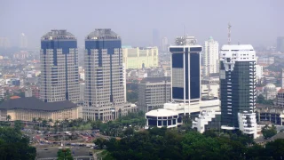 Bank Indonesia Expands Support for Rupiah
 Central Banks Return to Gold After Weak Start
 Dubai Real Estate Market Slows Amid Middle East Conflict
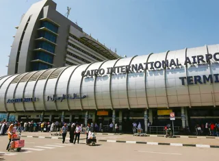 Egypt launches digital visa-on-arrival system at Cairo International Airport
Snow Squalls Grip Southern Ontario
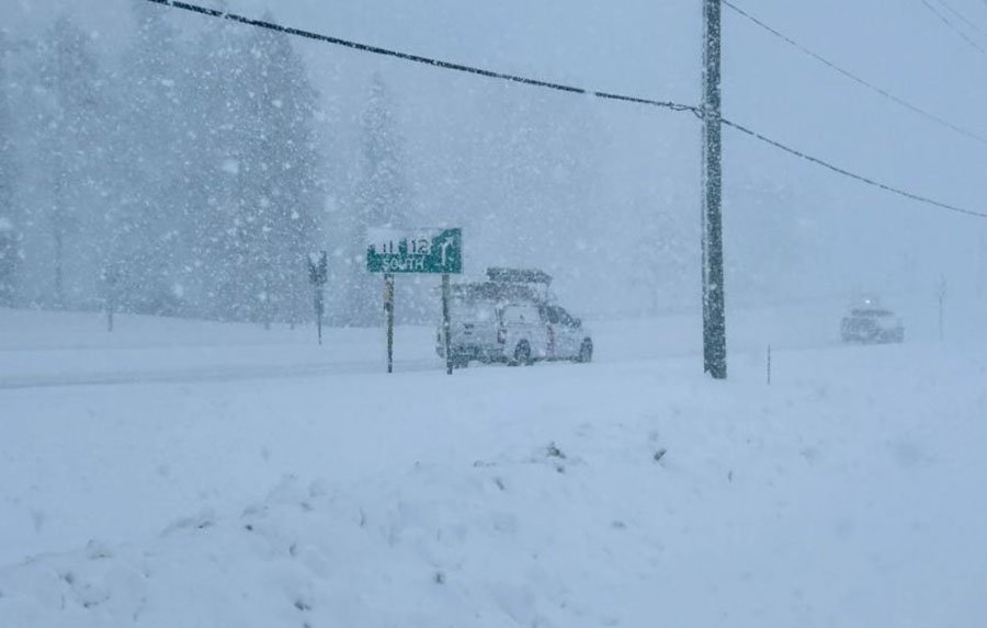
Photo: twnmm.com
Mid-January 2026 is once again highlighting the volatility of Great Lakes weather in Southern Ontario. After days of digging out from heavy snowfall, the region is facing another high-impact winter event. A surge of Arctic air crossing the relatively warm waters of Lakes Huron, Erie and Georgian Bay is expected to trigger intense snow squalls and localized blizzard conditions from Sunday night into Monday.
Environment Canada and The Weather Network warn that travel conditions may shift rapidly from difficult to virtually impossible.
Why this system is different
Snow squalls differ sharply from widespread winter storms. They are narrow, fast-forming and highly unpredictable. Drivers can move from clear skies into total whiteout conditions within seconds. This sudden loss of visibility is a major contributor to multi-vehicle collisions along critical routes such as Highways 400 and 401.
Strong winds further compound the danger by lifting loose snow and maintaining near-zero visibility even when snowfall rates fluctuate.
Regions facing the greatest impact
The most severe conditions are expected in snowbelt regions along Lake Huron and Georgian Bay. Grey, Bruce, Perth and Wellington counties are under elevated blizzard alerts, with communities such as Owen Sound, Stratford and Listowel potentially receiving between 20 and 40 centimetres of snow. Wind gusts reaching up to 90 km/h will create sustained whiteout conditions.
Along Lake Erie, snow bands are forecast to impact the Niagara Peninsula, including Niagara Falls and Fort Erie, while Eastern Ontario and sections of the Highway 401 corridor may experience lake-enhanced snowfall affecting evening travel.
Transportation and safety risks
The danger posed by snow squalls extends beyond accumulation. Whiteout conditions disrupt depth perception and speed judgment, dramatically increasing accident risk. With wind chills plunging to −20°C or lower, any prolonged roadside stop quickly becomes a survival situation rather than a minor inconvenience.
A likely standstill Monday
Given the expected timing of peak conditions, widespread school bus cancellations are anticipated across multiple districts. For many communities, Monday is shaping up to be a forced pause in routine travel and activity.
As International Investment experts report, extreme winter weather in Southern Ontario increasingly represents a structural mobility risk. For logistics networks, employers and households alike, snow squalls underscore the need for contingency planning in a region where climate volatility can disrupt economic activity with little notice.